£20 - £30
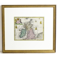
Maps: Three assorted 19thC engraved maps comprising Cardiganshire, Wales, after G. Cole for The British Atlas: Comprising a Complete Set of County Maps of England and Wales; Wiltshire after J. Archer for Dugdales England and Wales; and Buckinghamshire after J. Archer, for Curiosities of Great Britain, England and Wales Delineated…, by Thomas Dugdale. Largest approx. 10" x 8" (3)
Please Note - we do not make reference to the condition of lots within descriptions. We are however happy to provide additional information regarding the condition of items on request.
Fees apply to the hammer price:
Room and Absentee Bids:
23.4% inc VAT*
Online and Autobids:
26.4% inc VAT*
Join our mailing list and receive the latest auction catalogues