£200 - £300
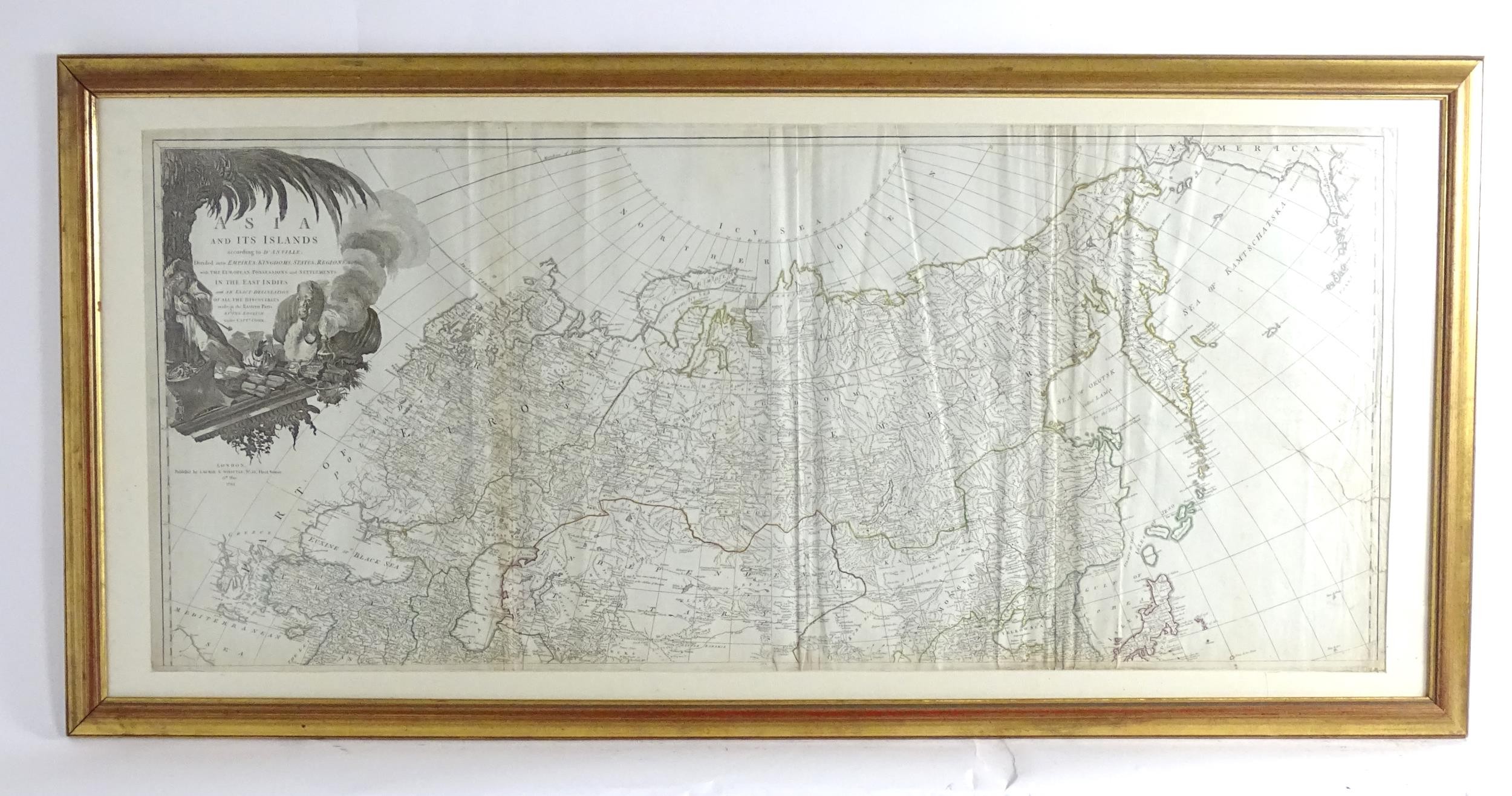
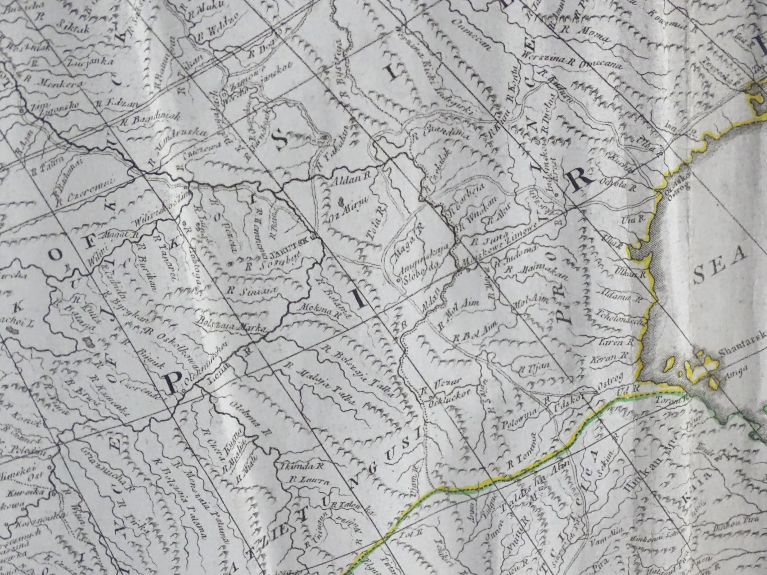
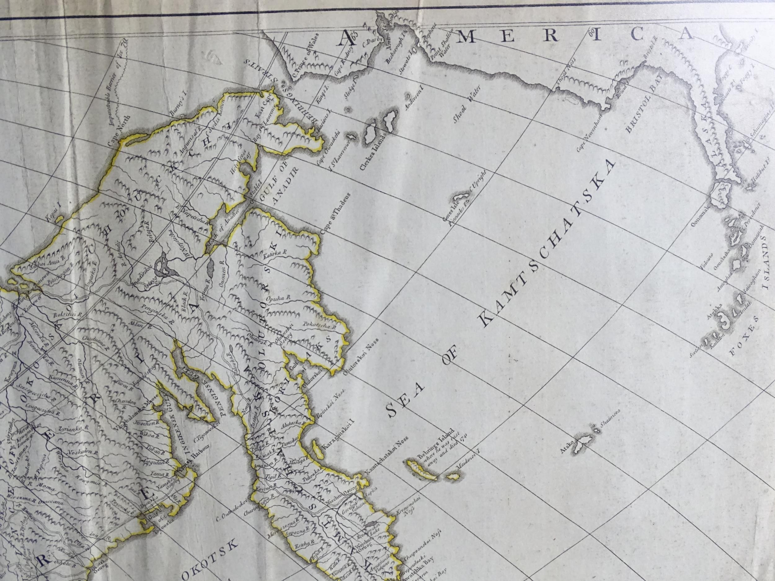
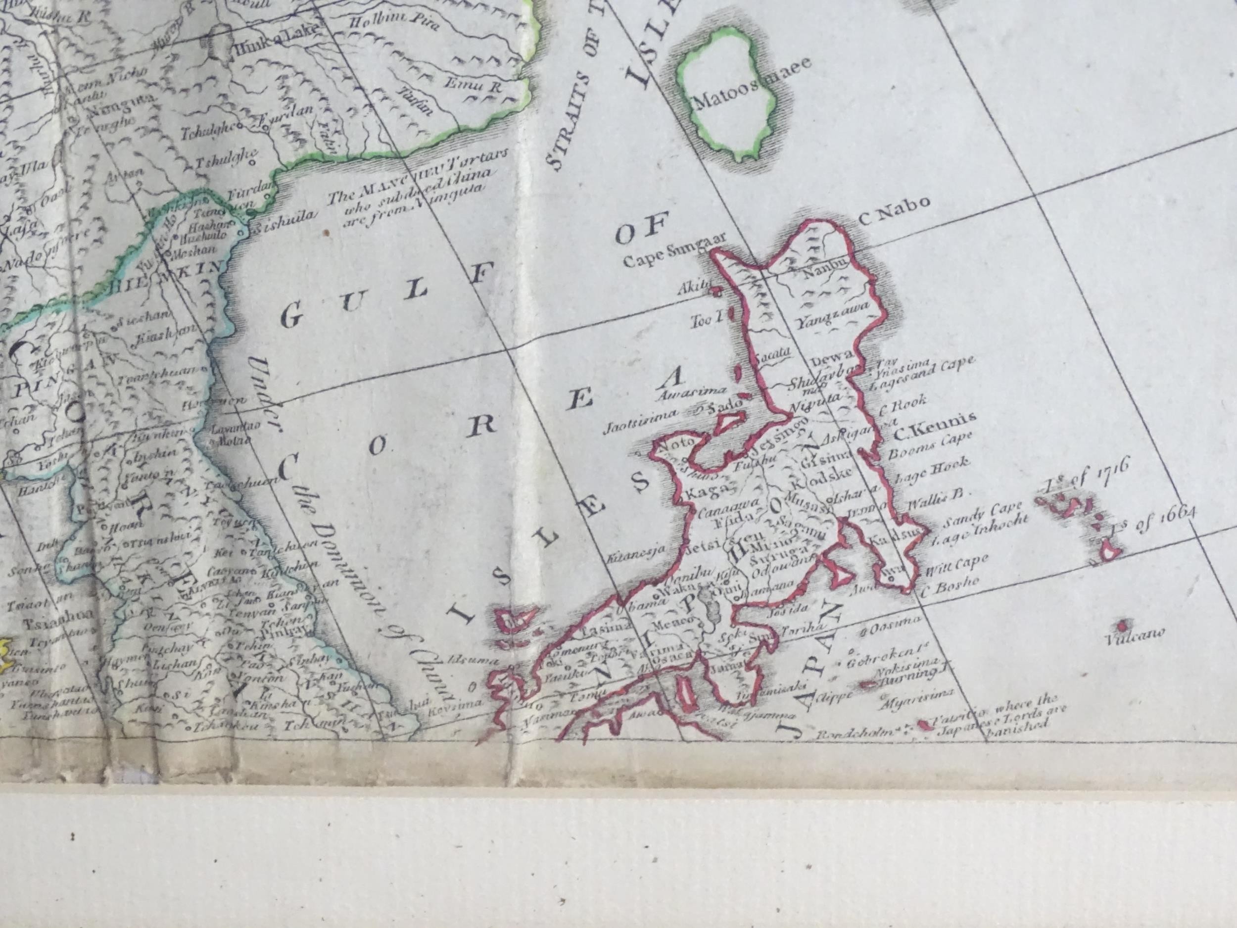
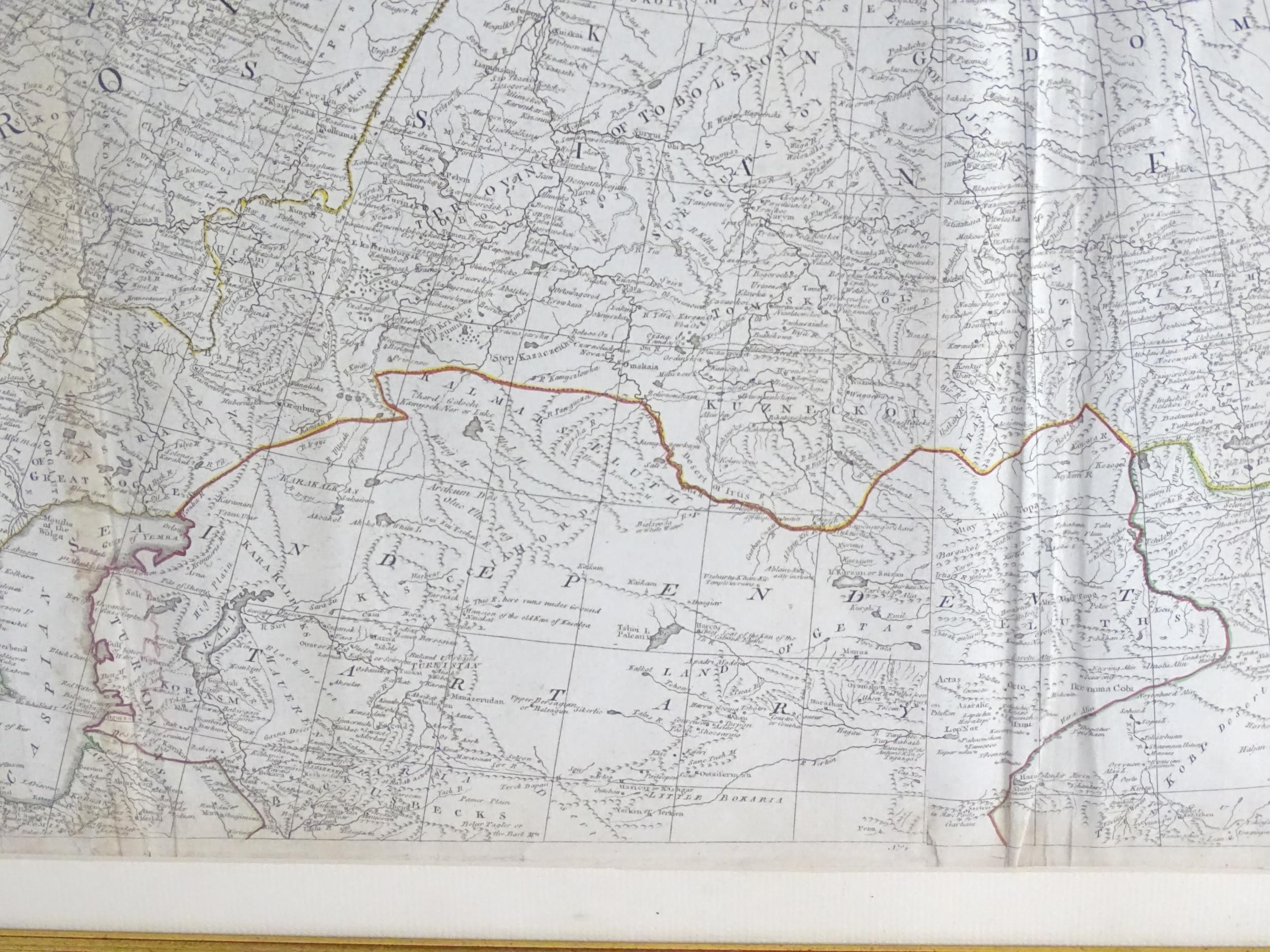
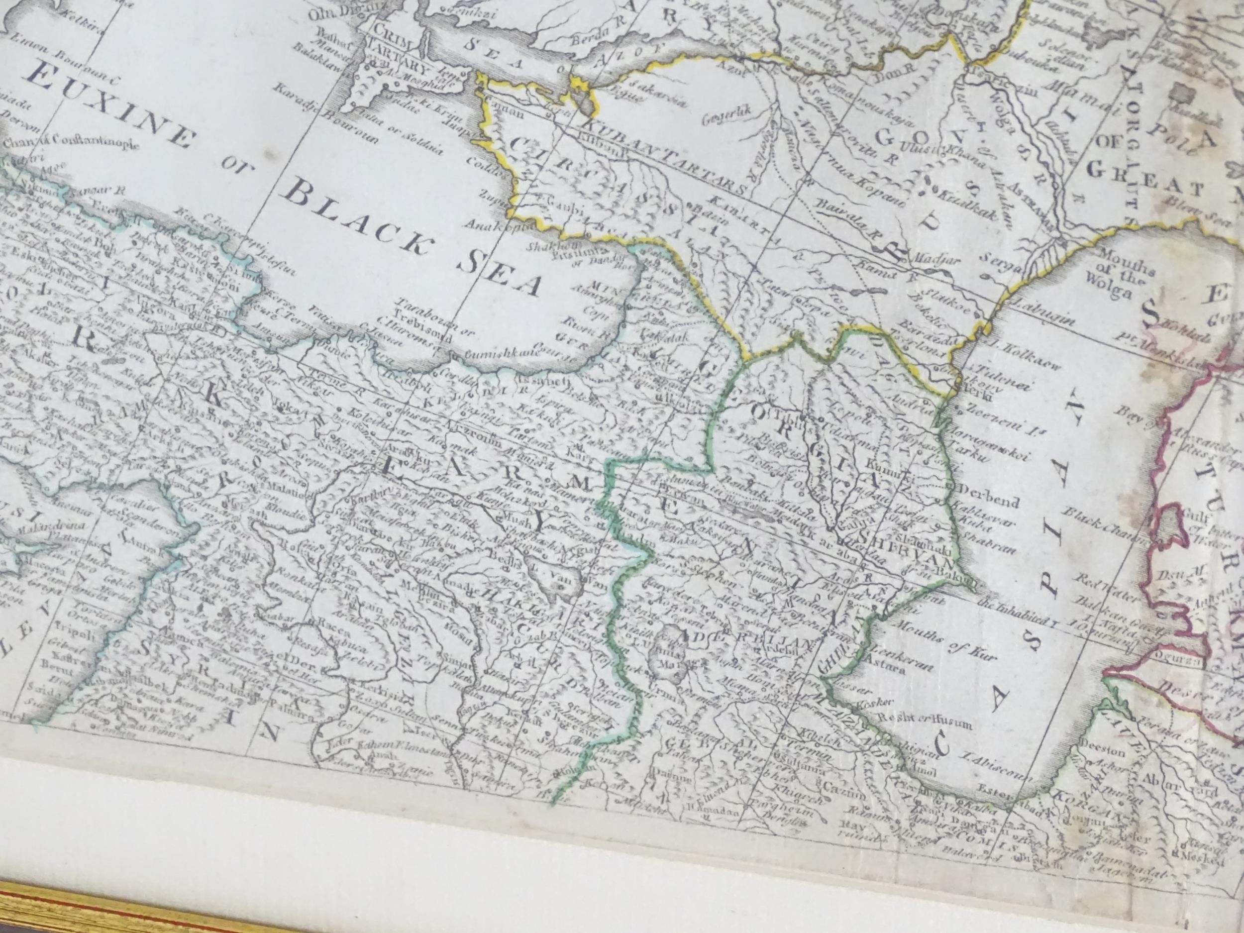
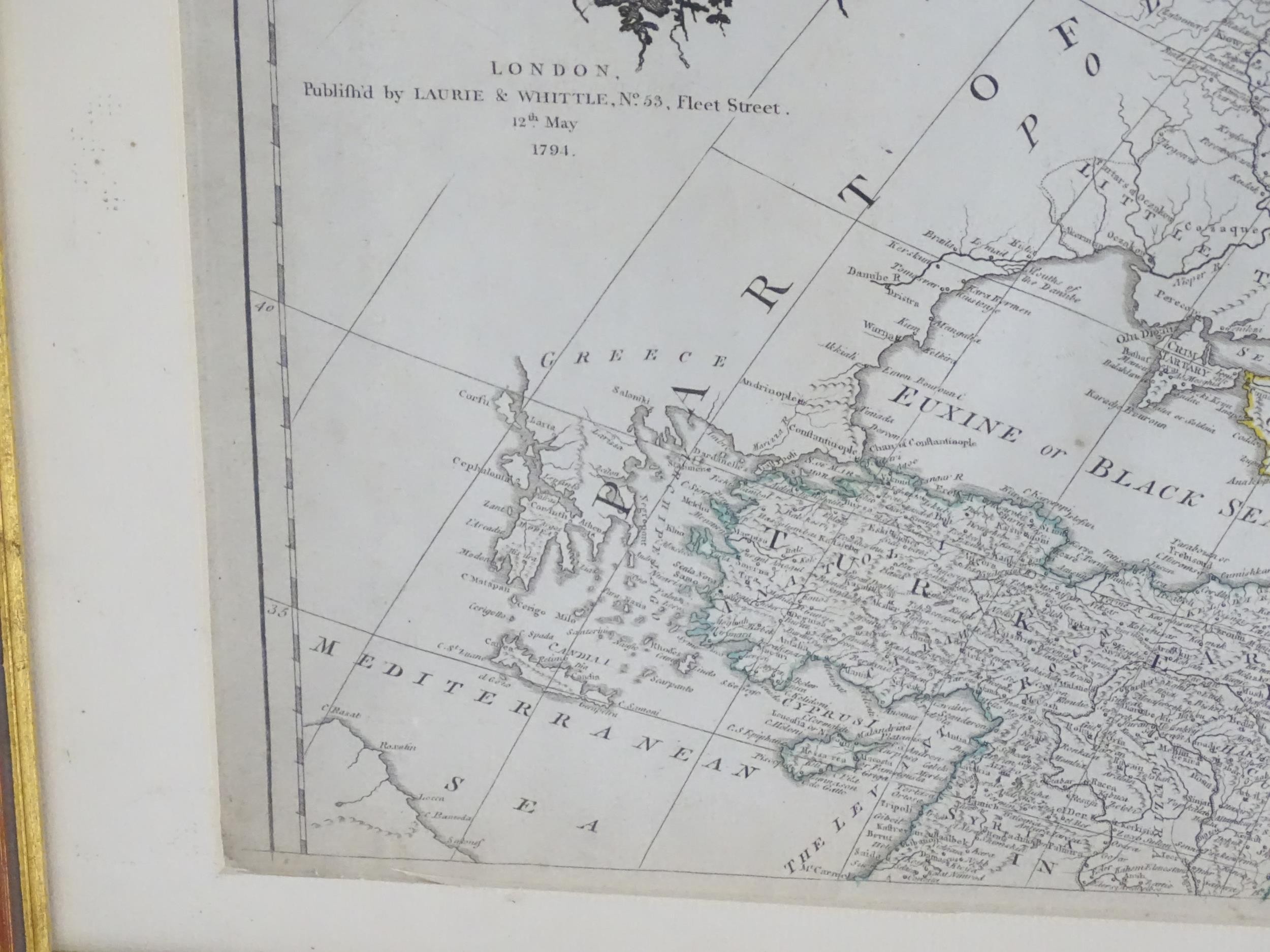
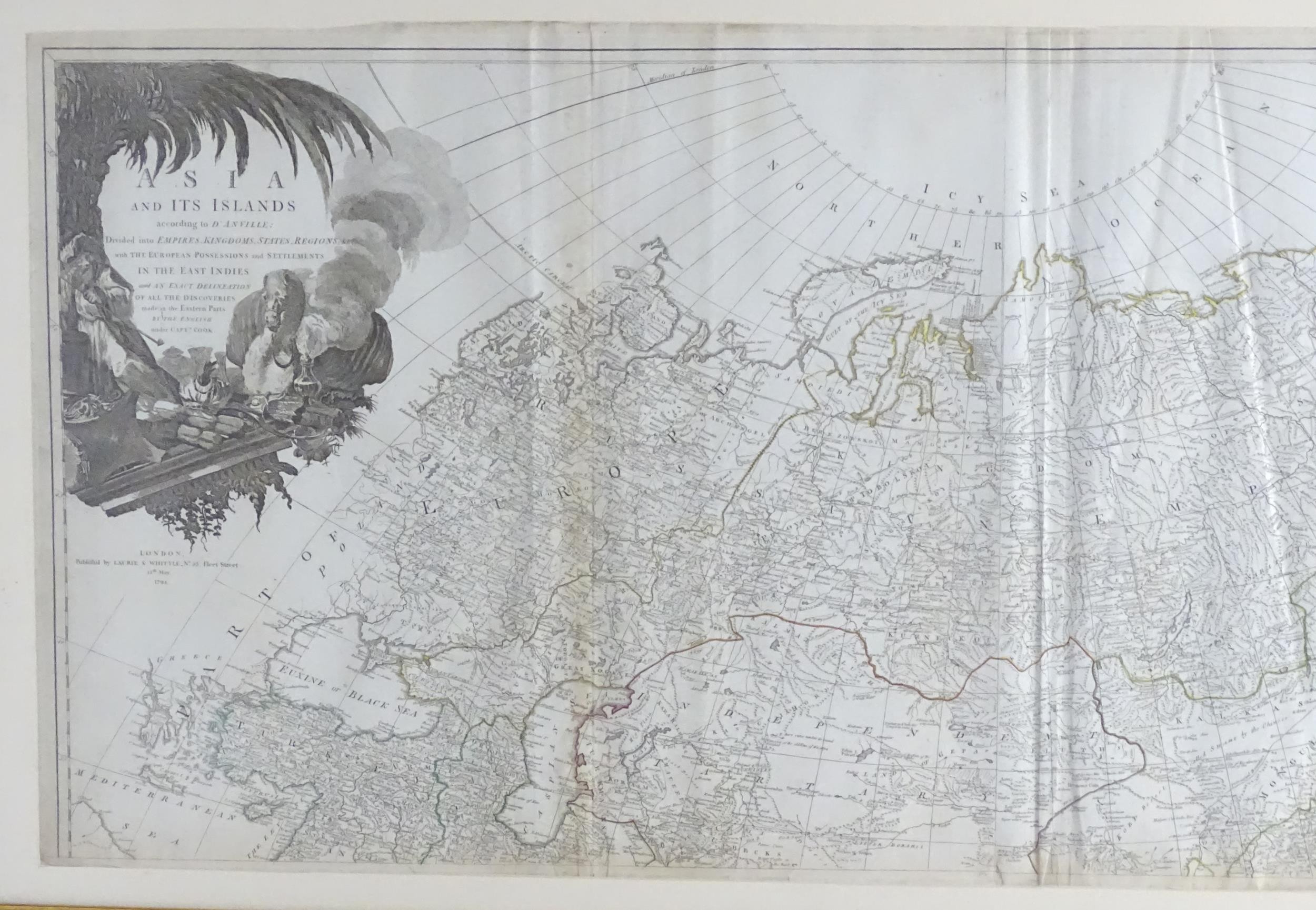
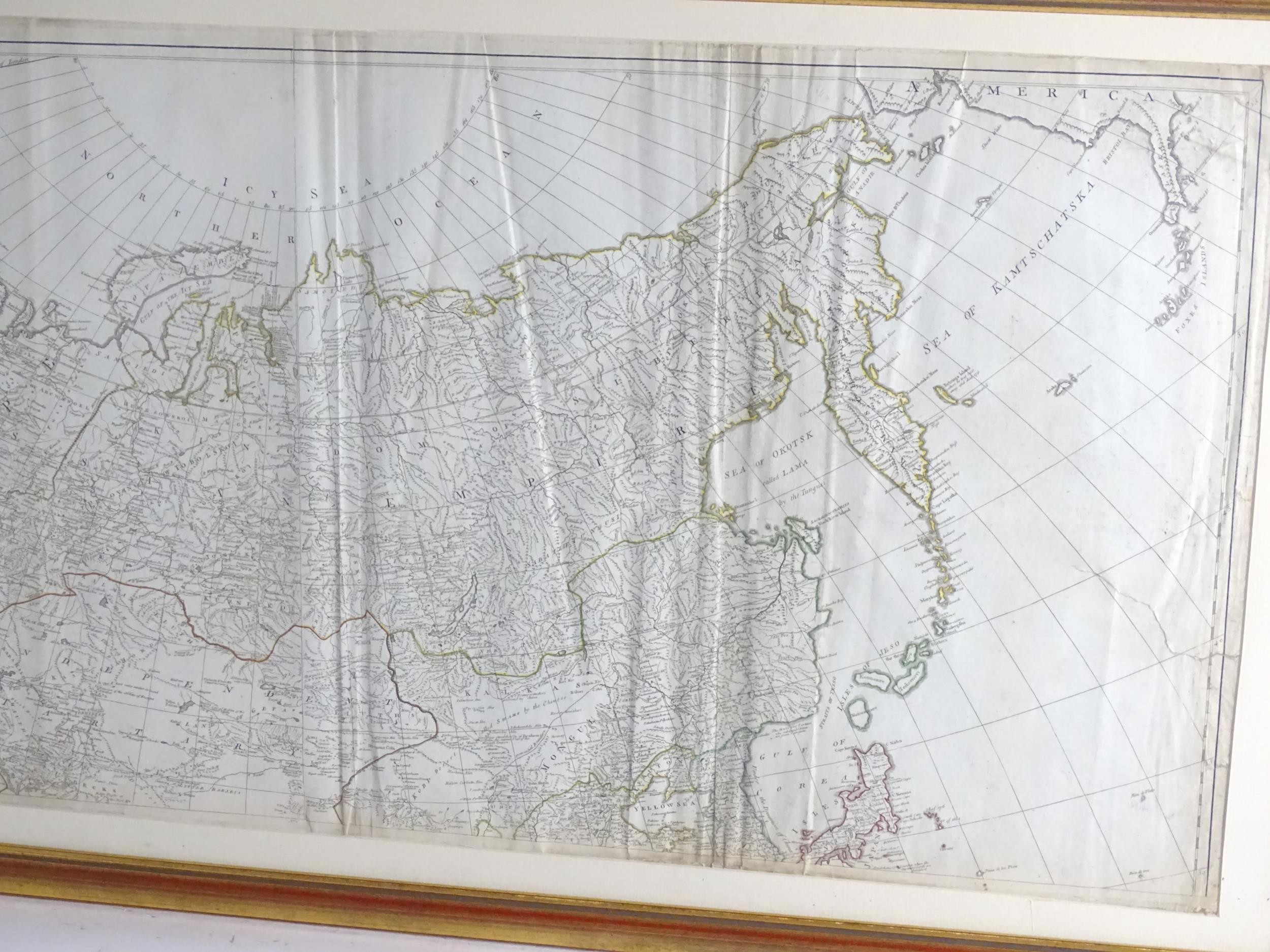
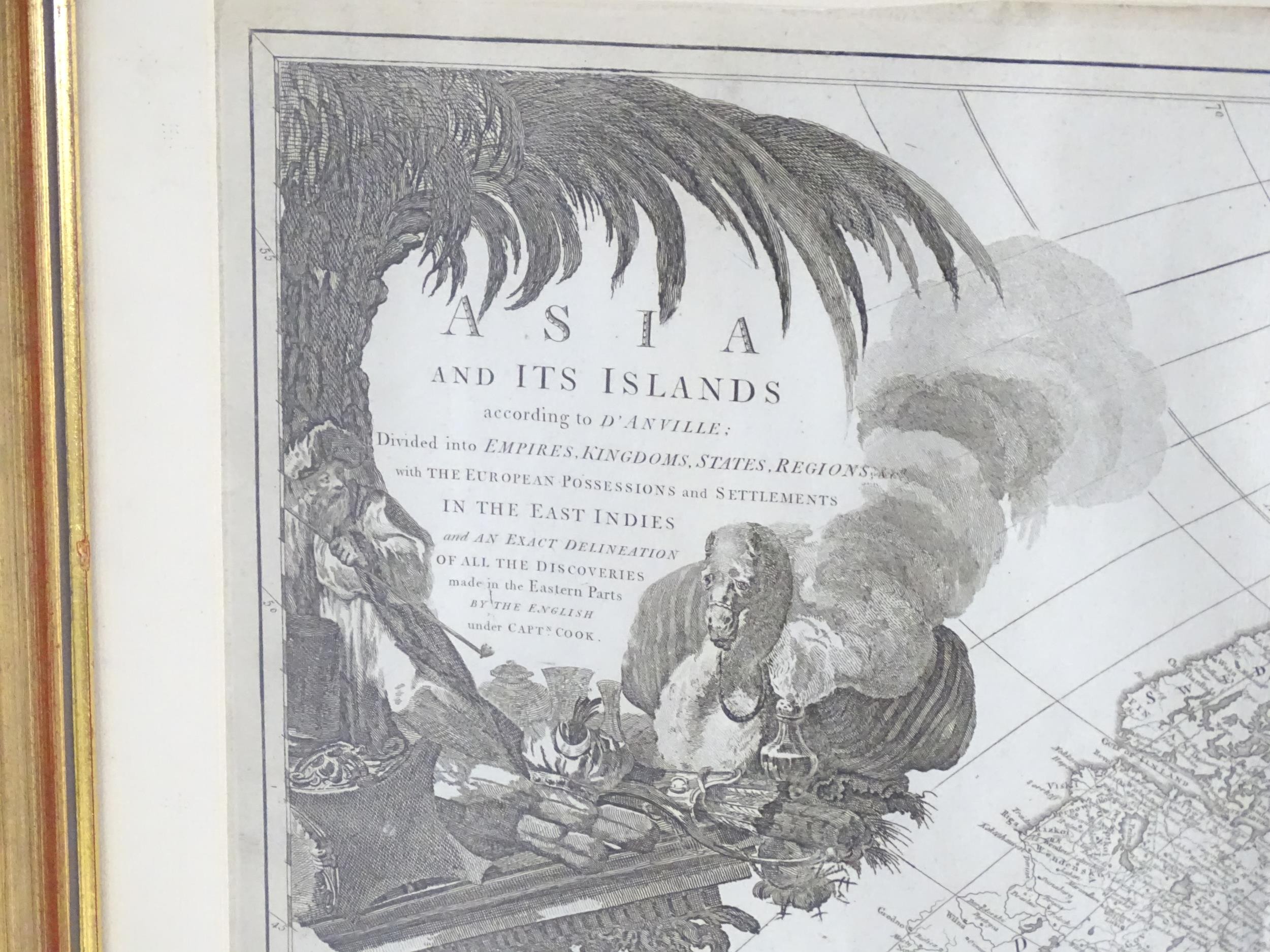
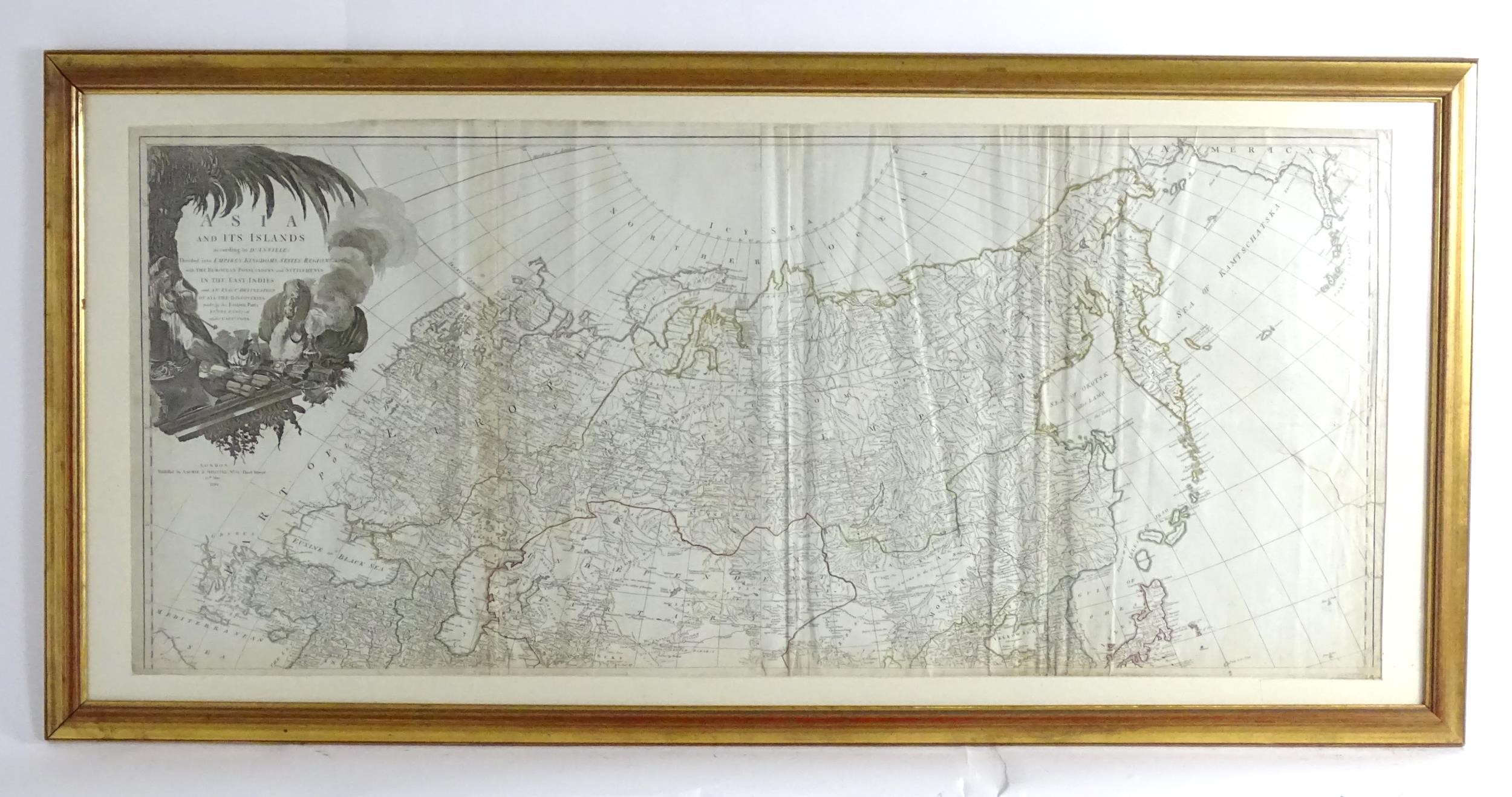
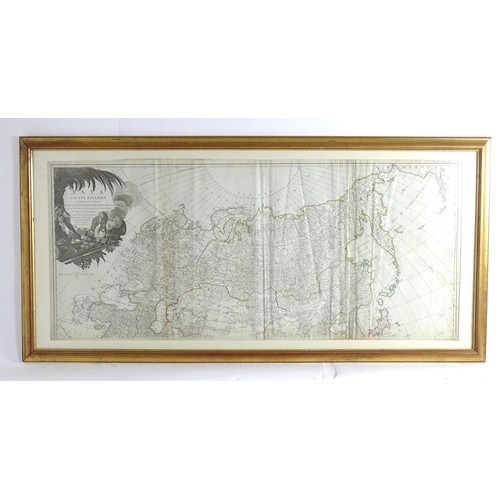
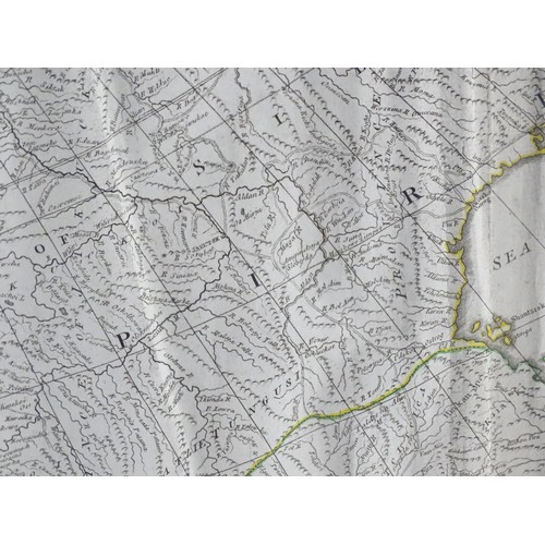
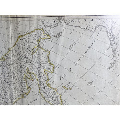
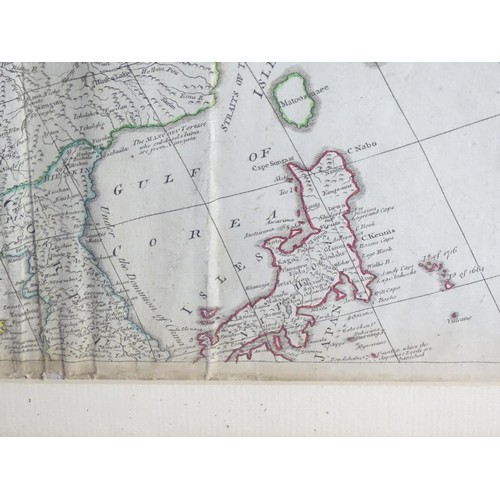
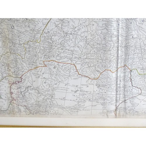
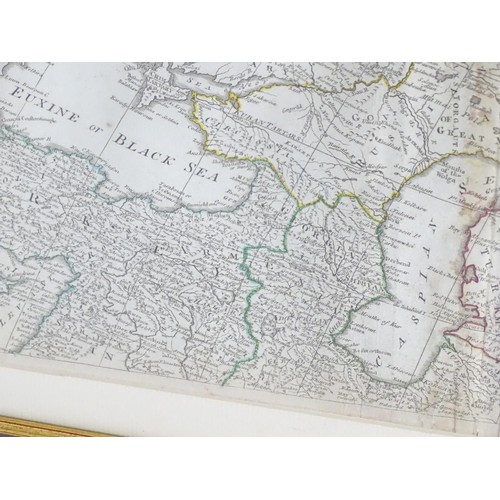
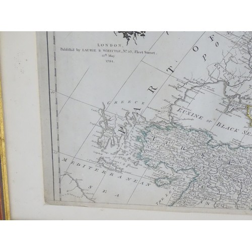
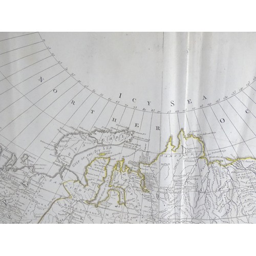
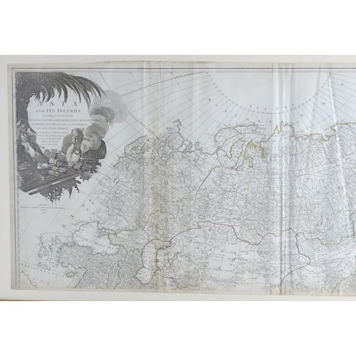
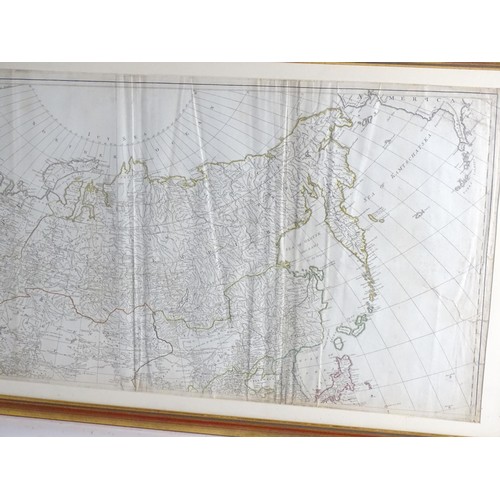
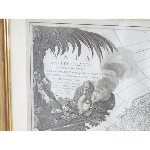
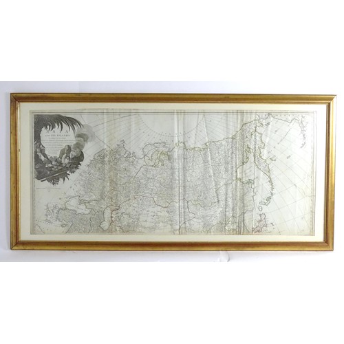
Map: An 18thC map after Jean Baptiste Bourguignon d'Anville (1697-1782), titled Map of Asia and Its Islands - showing the Northern part. The North and South hand coloured maps by Laurie and Thomas Kitchin (1719-1784) together made up the 'Map of Asia and its Islands, according to D'Anville', further entitled 'divided into EMPIRES, KINGDOMS, STATES, REGIONS and with the EUROPEAN POSSESSIONS and SETTLEMENTS IN THE EAST INDIES and an exact delineation of all the discoveries made in the Eastern Part by the English under Captain Cook'. Published by Laurie & Whittle, No 55 Fleet Street, London, 12th May 1794. Approx. 20" x 46 3/4"
Please Note - we do not make reference to the condition of lots within descriptions. We are however happy to provide additional information regarding the condition of items on request.
Fees apply to the hammer price:
Room and Absentee Bids:
23.4% inc VAT*
Online and Autobids:
26.4% inc VAT*
Join our mailing list and receive the latest auction catalogues