

£48
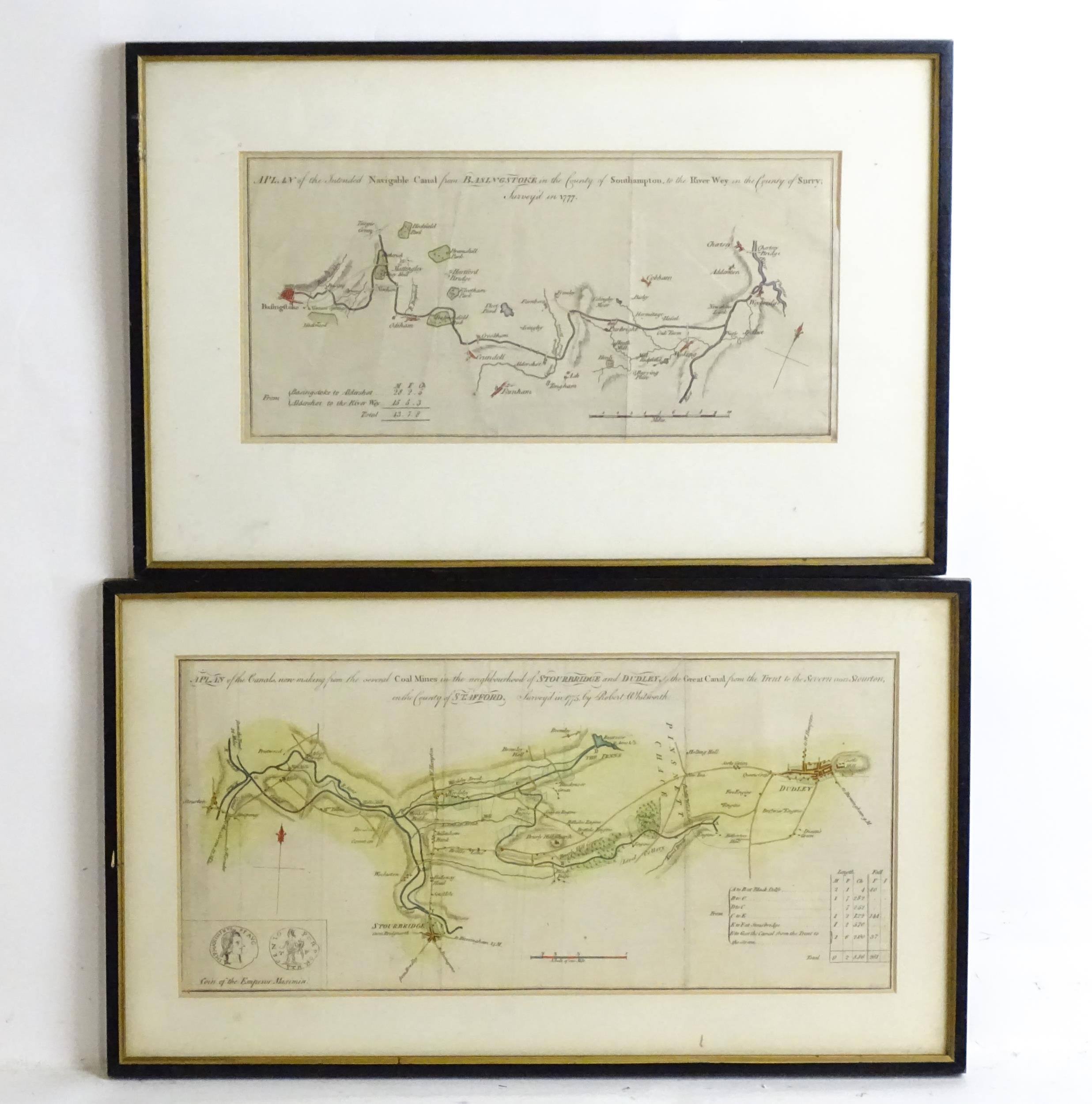
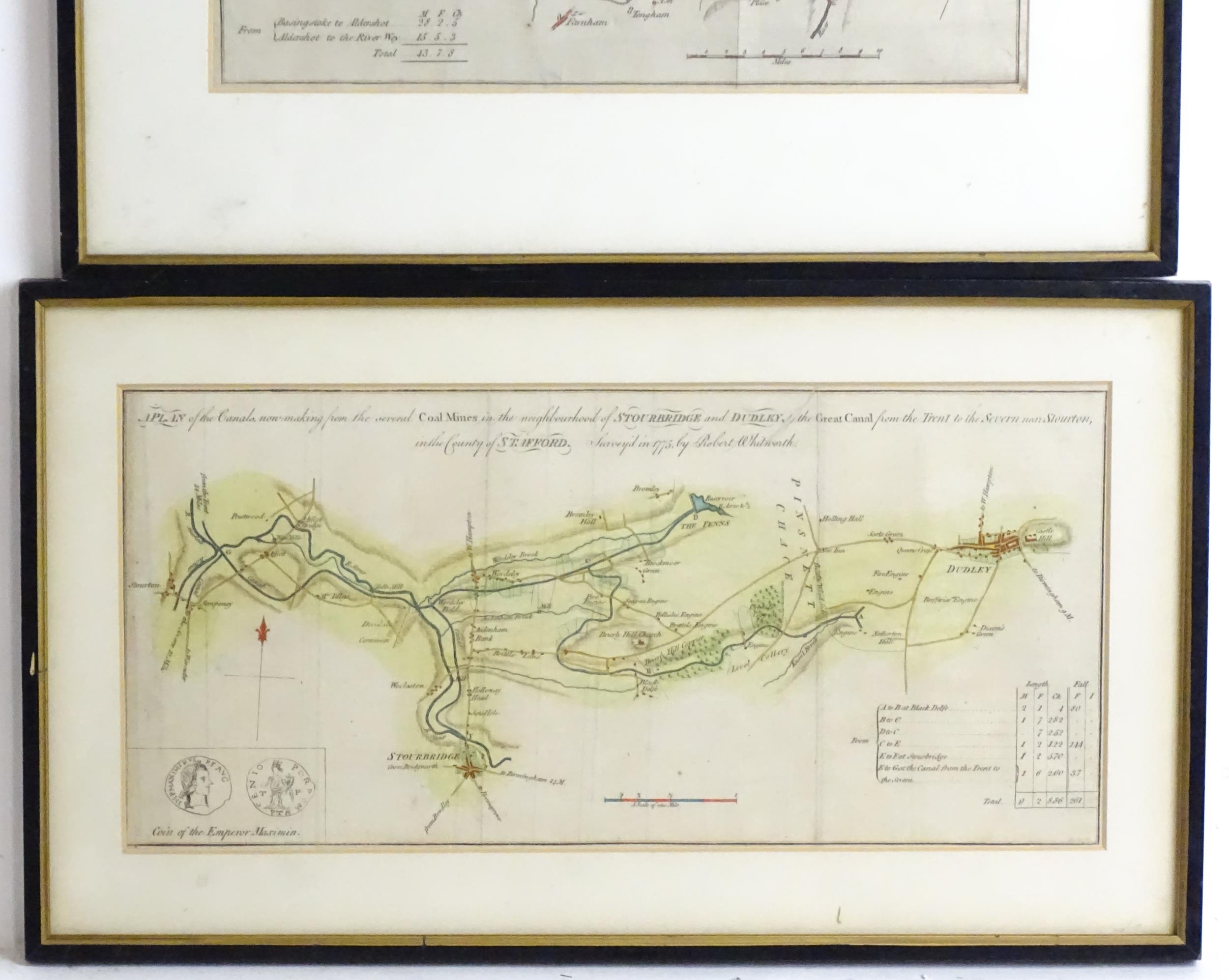
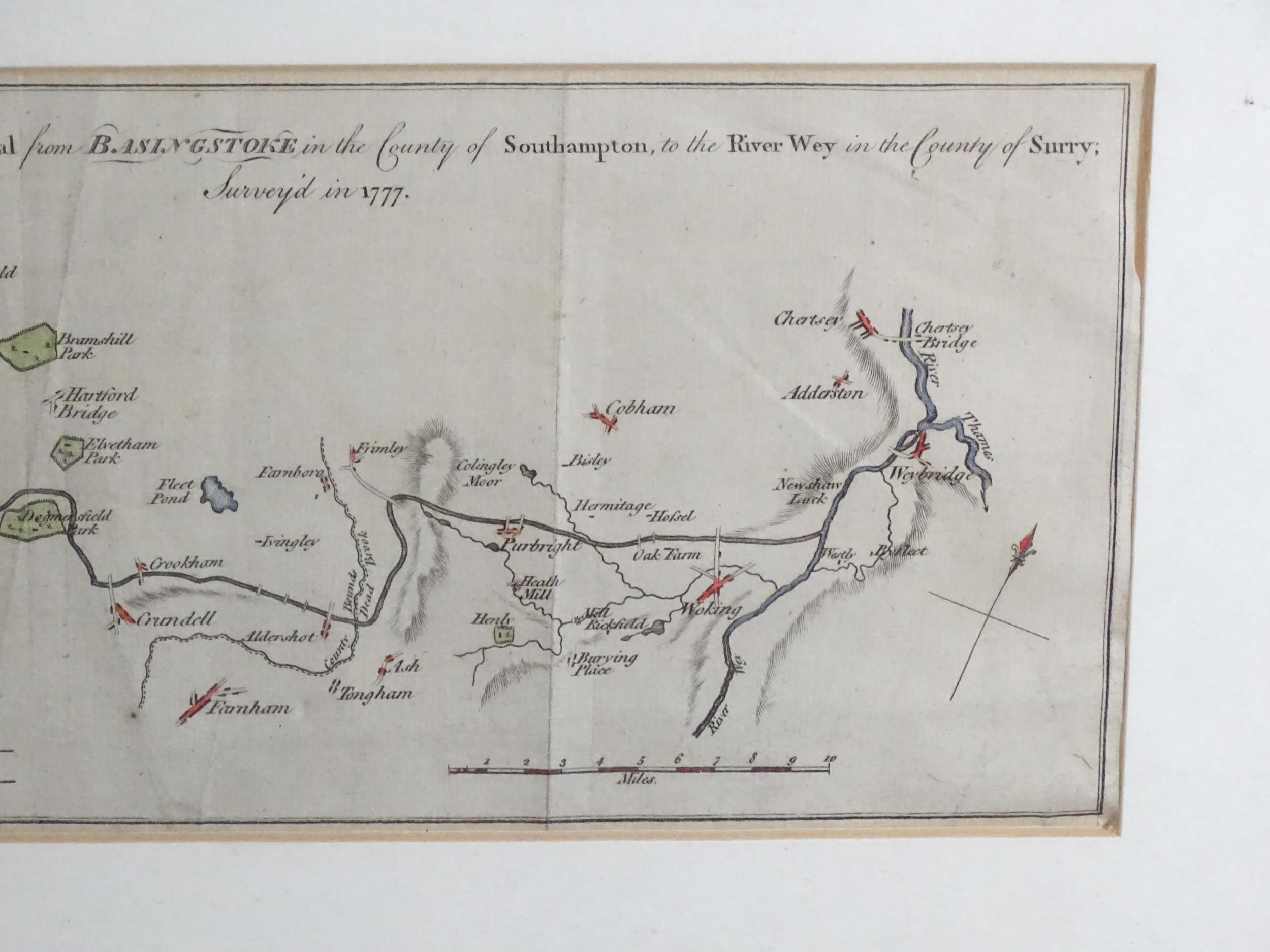
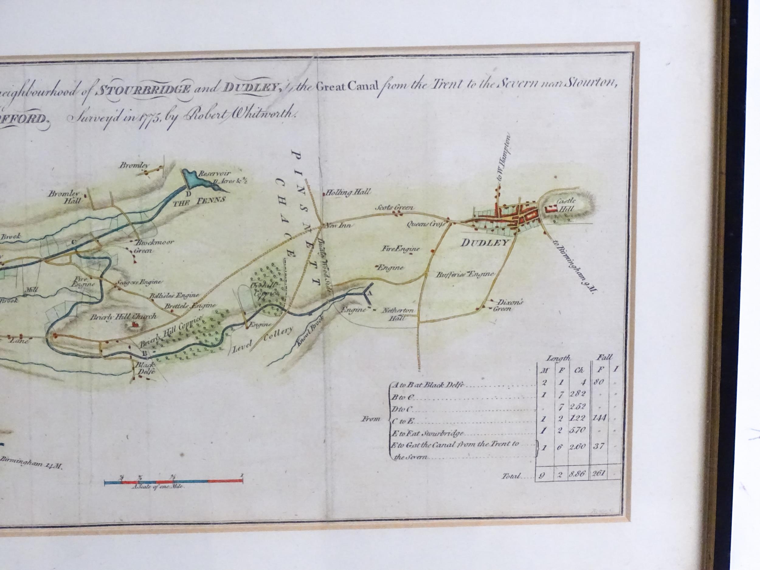
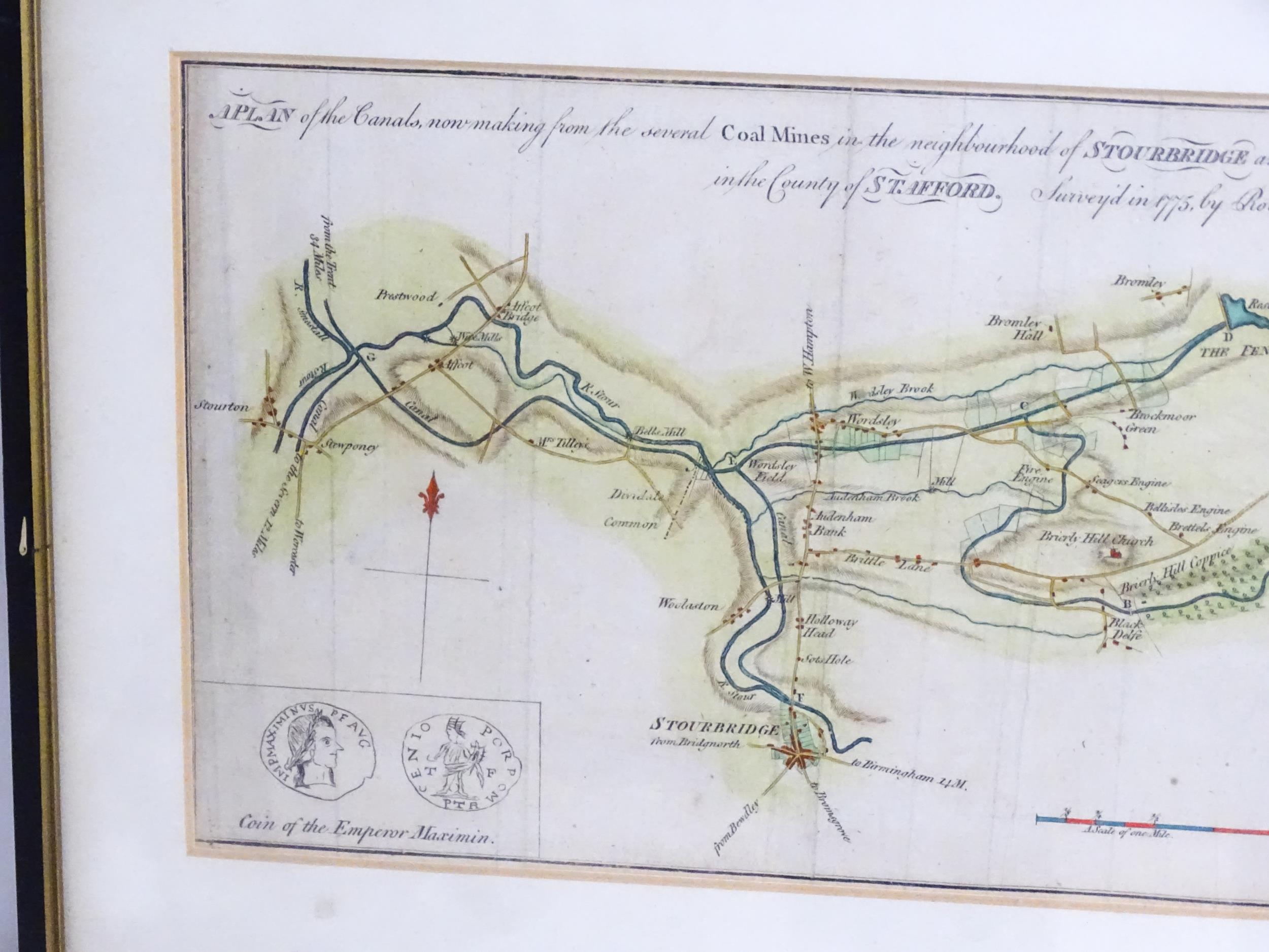
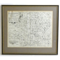
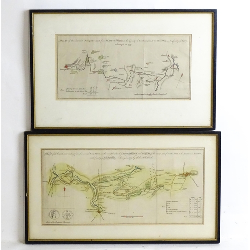
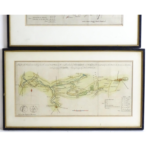
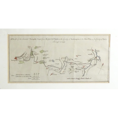
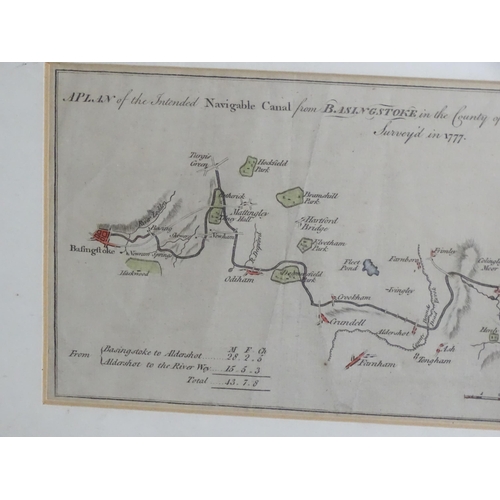
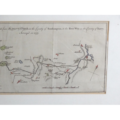
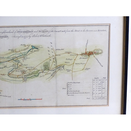
Maps: Two 18thC engraved canal maps comprising, A plan of the canal now making from the several coal mines in the neighbourhood of Stourbridge and Dudley to the Great Canal from the Trent to the Severn near Stourton in the County of Stafford, and A Plan of the intended Navigable Canal from Basingstoke to the River Wey in the County of Surry / Surrey. Approx. 53/4" x 11 3/4" (2)
Please Note - we do not make reference to the condition of lots within descriptions. We are however happy to provide additional information regarding the condition of items on request.
Fees apply to the hammer price:
Room and Absentee Bids:
23.4% inc VAT*
Online and Autobids:
26.4% inc VAT*
Join our mailing list and receive the latest auction catalogues