£30 - £40
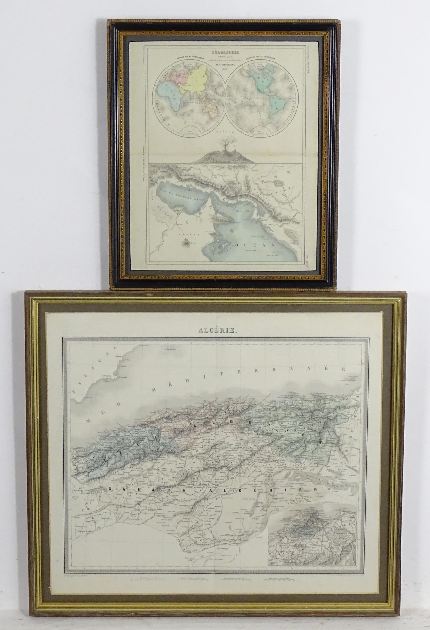
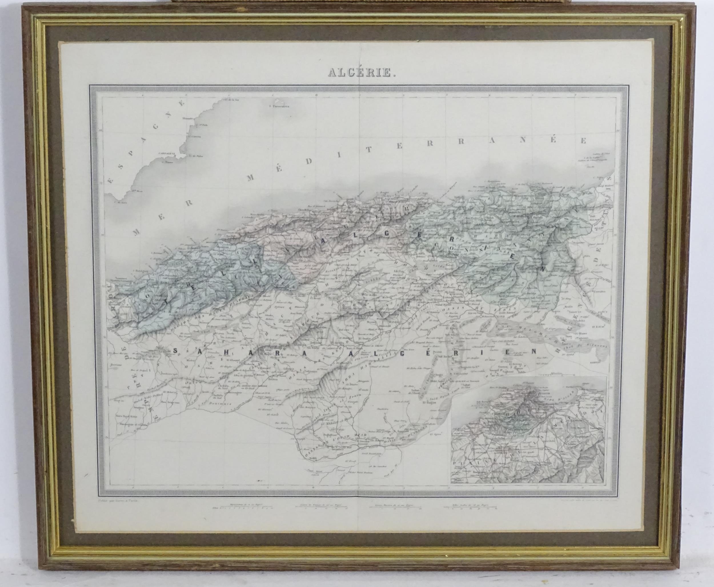
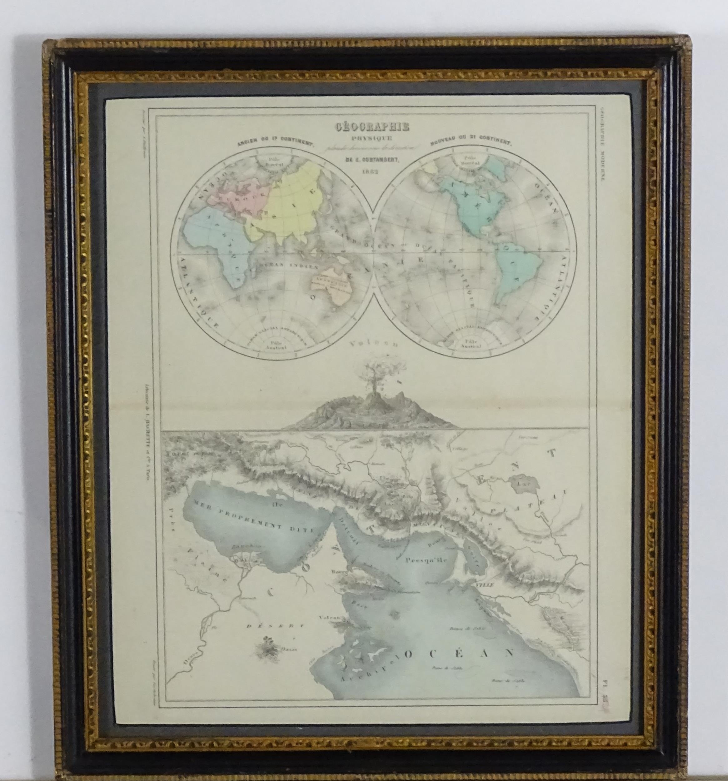
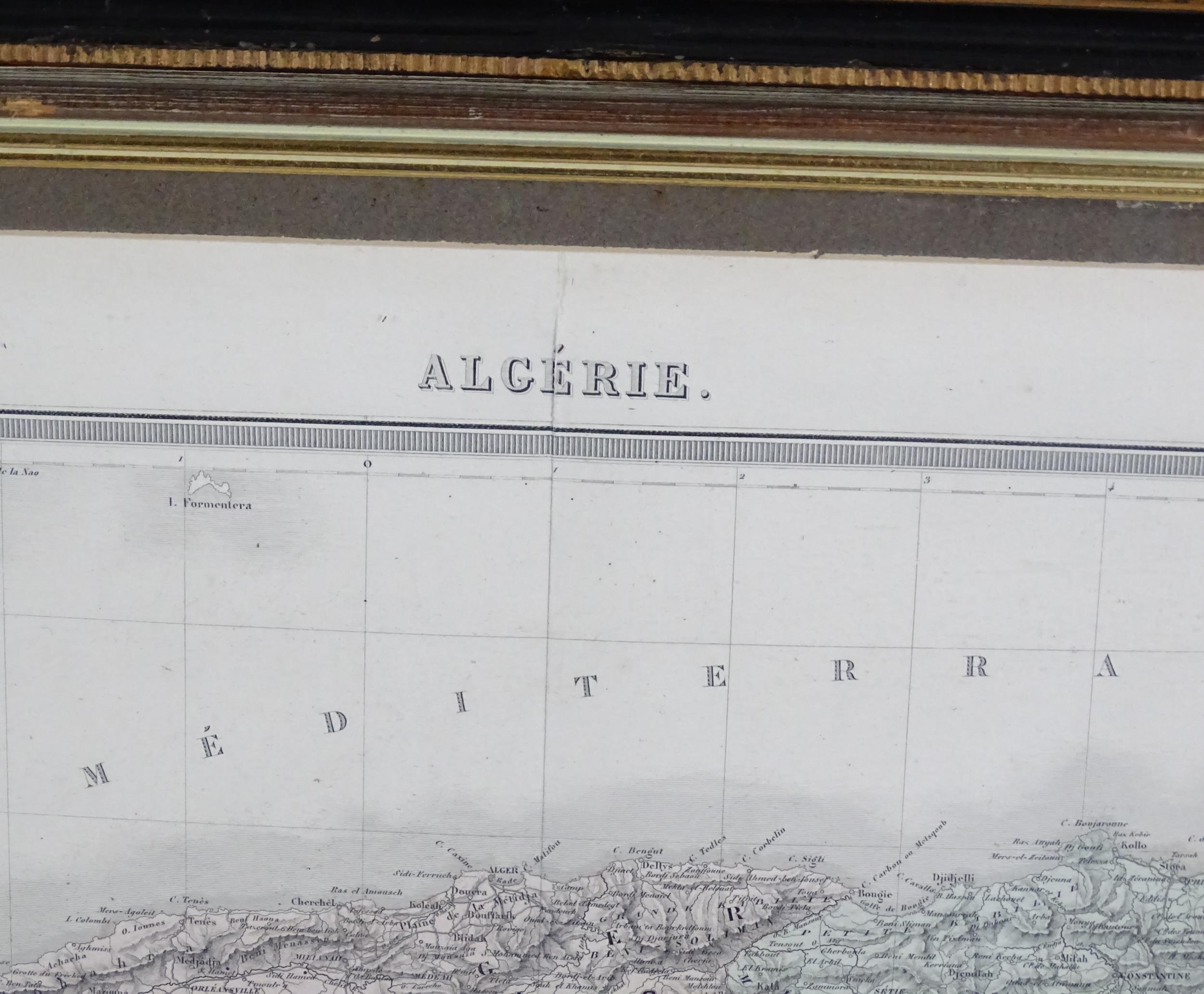
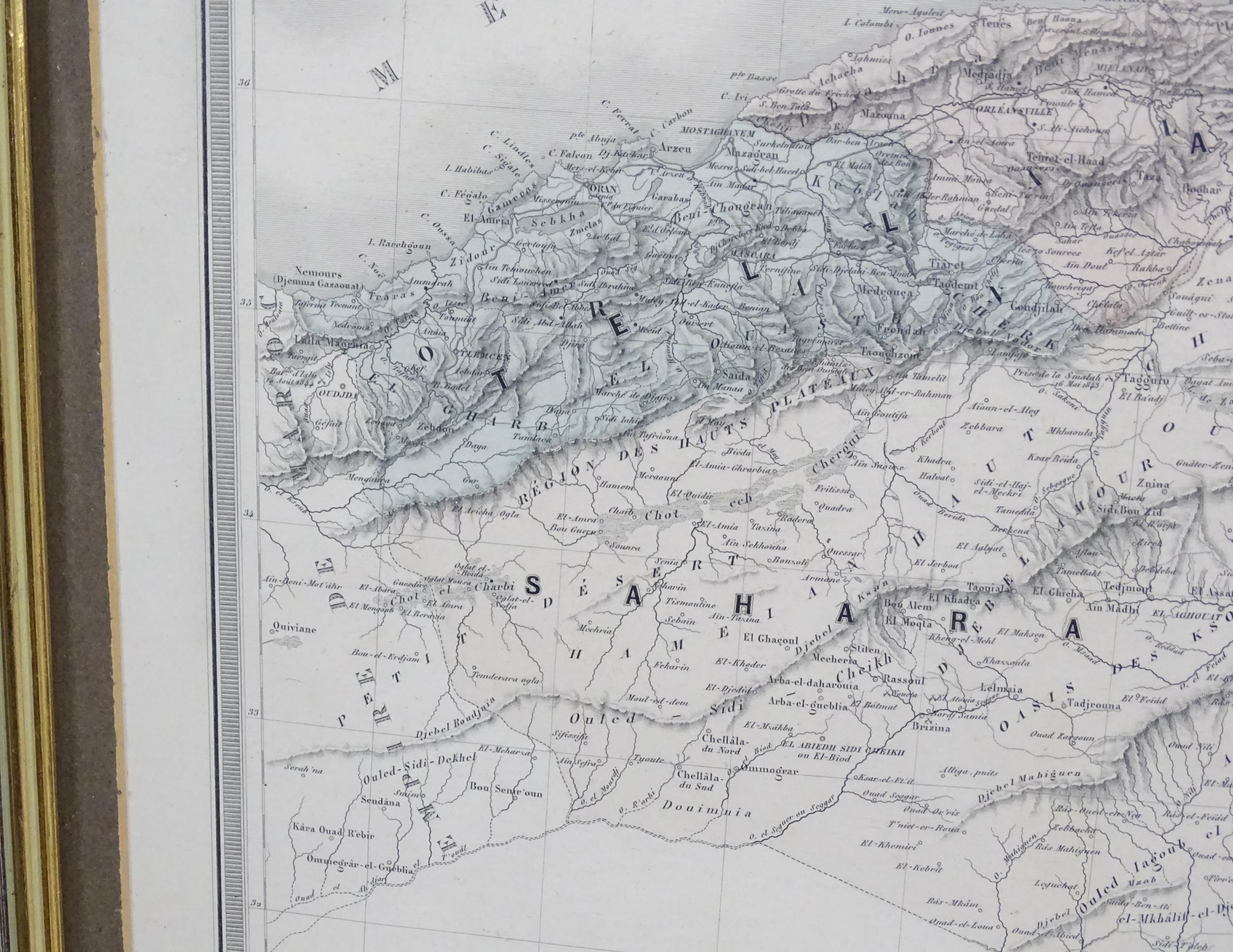
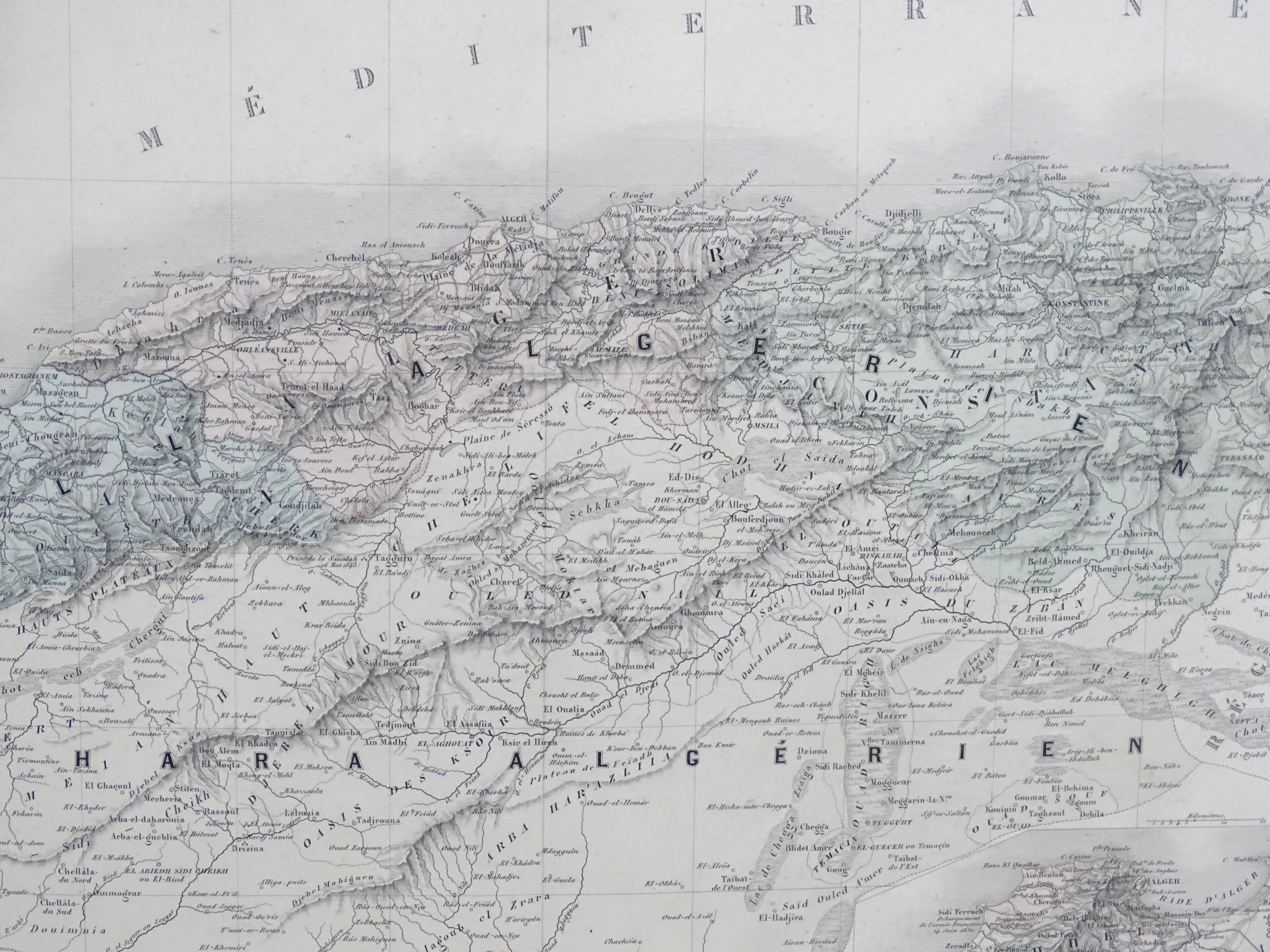
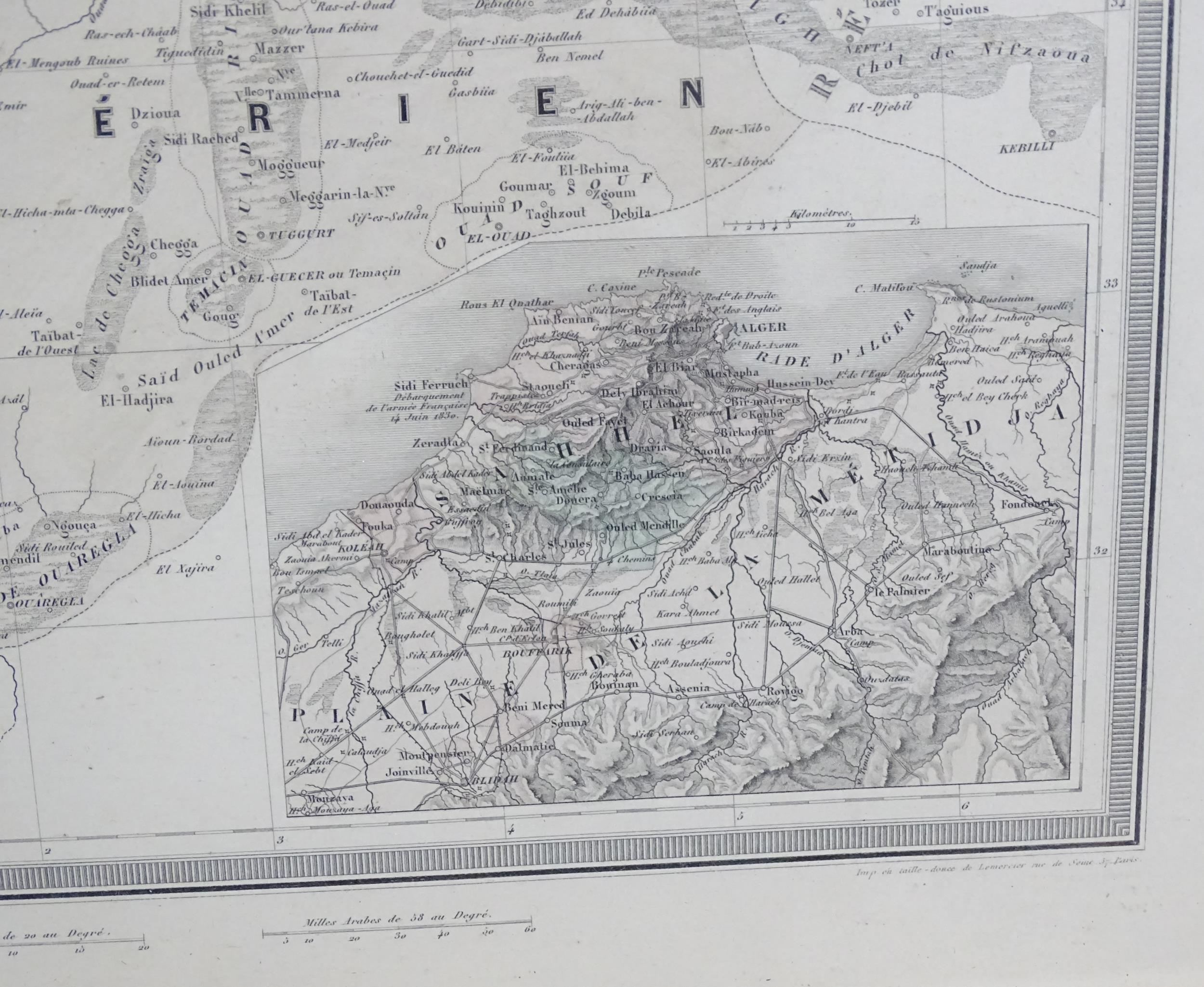
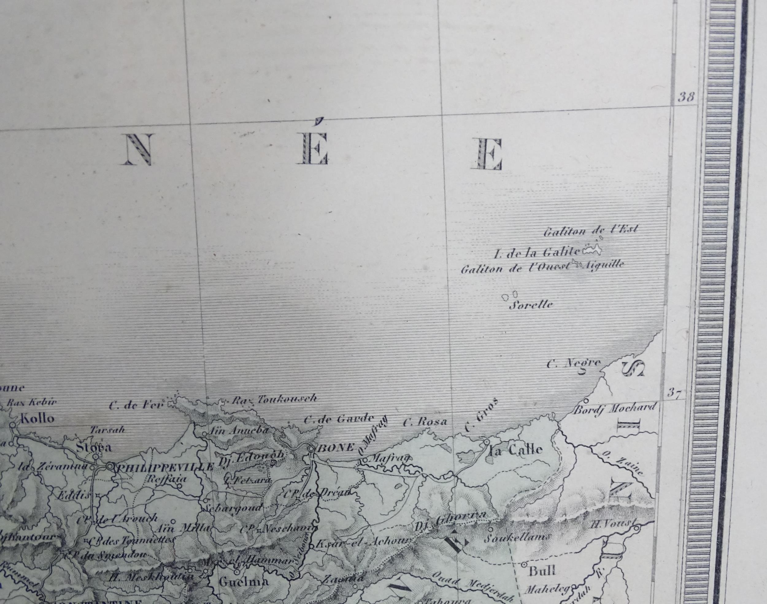
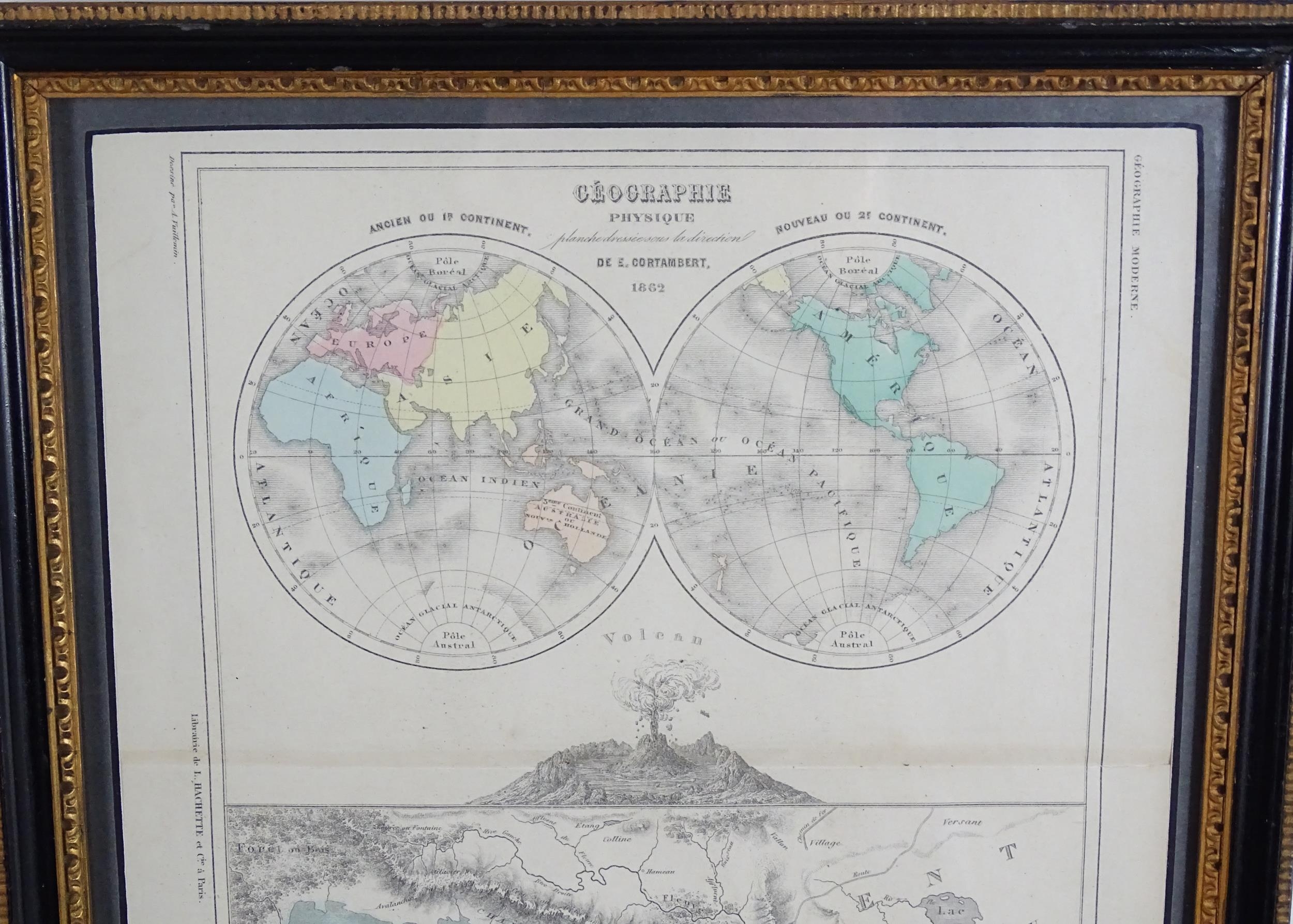
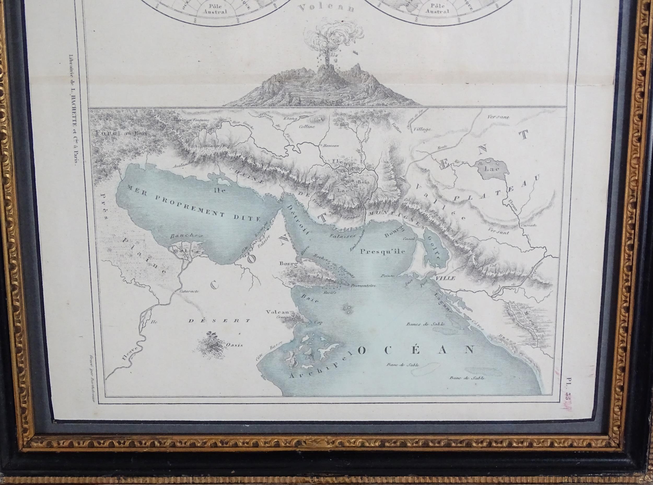
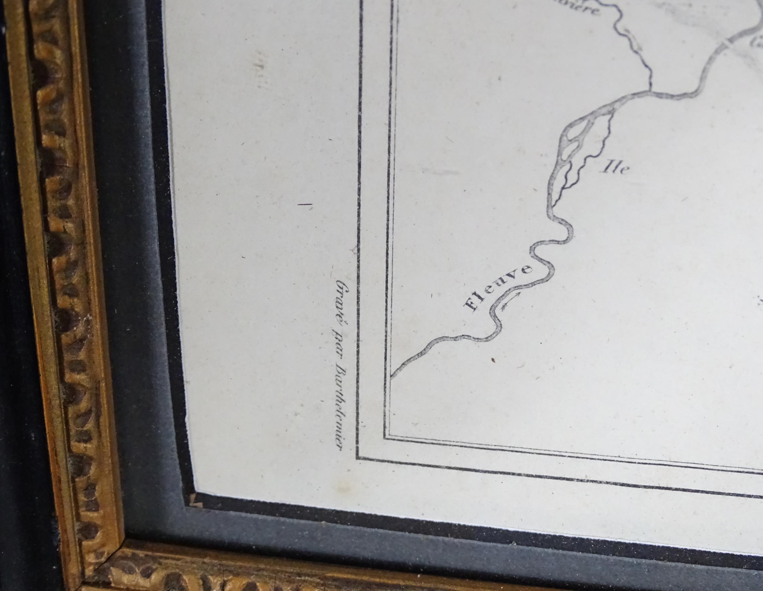
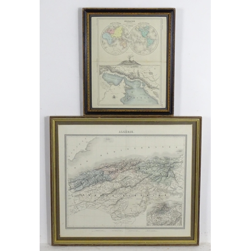
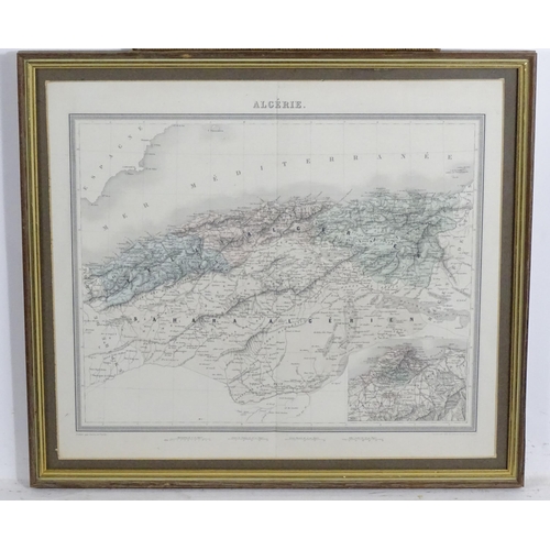
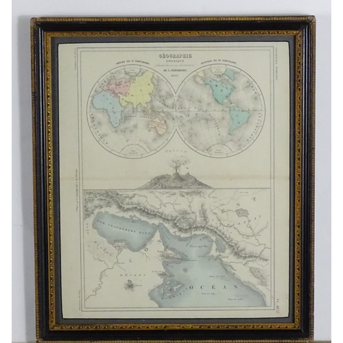
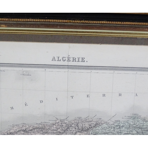
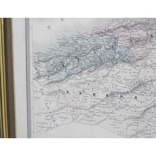
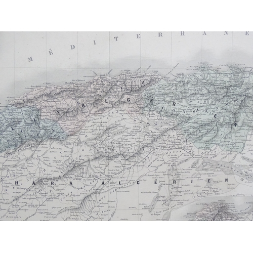
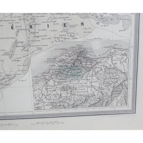
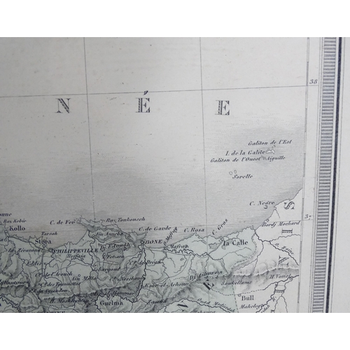
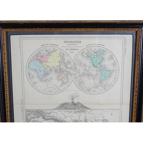
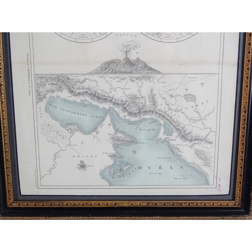
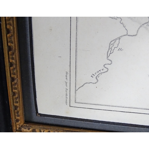
Maps: Two French maps comprising Planche 35 from the Petit Atlas de Geographie Moderne with maps after Eugene Cortambert depicting the two halves of the globe, a volcano and geographical features across part of Africa, engraved by Barthelemier, published by Libraire Hachette et Cie, 1870; and a map of Algerie (Algeria), published 1873-7 by Furne, Paris. Largest approx. 13" x 16 1/2" (2)
Please Note - we do not make reference to the condition of lots within descriptions. We are however happy to provide additional information regarding the condition of items on request.
Fees apply to the hammer price:
Room and Absentee Bids:
23.4% inc VAT*
Online and Autobids:
26.4% inc VAT*
Join our mailing list and receive the latest auction catalogues